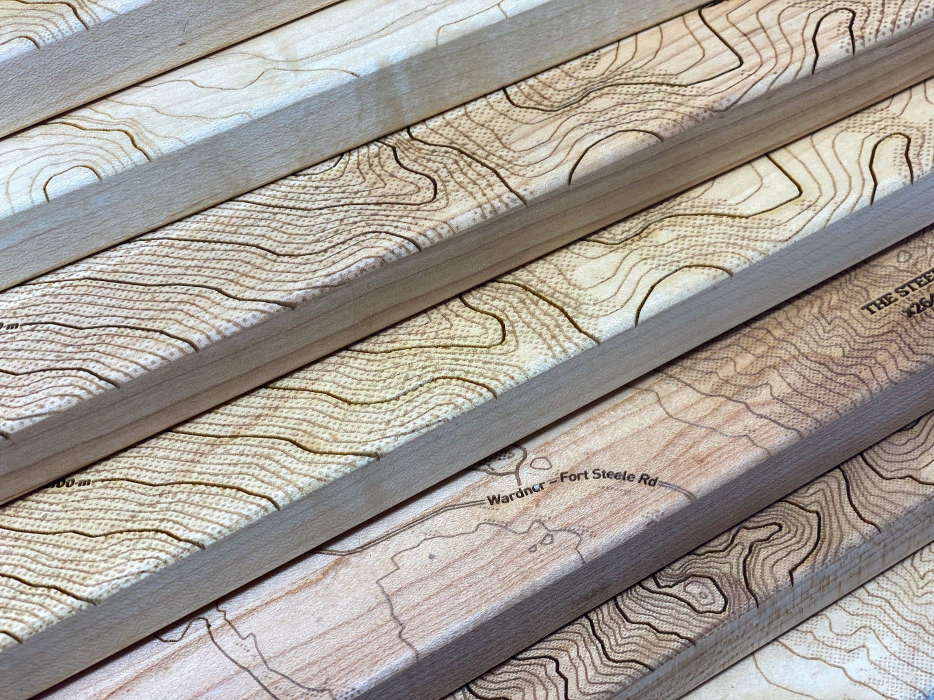
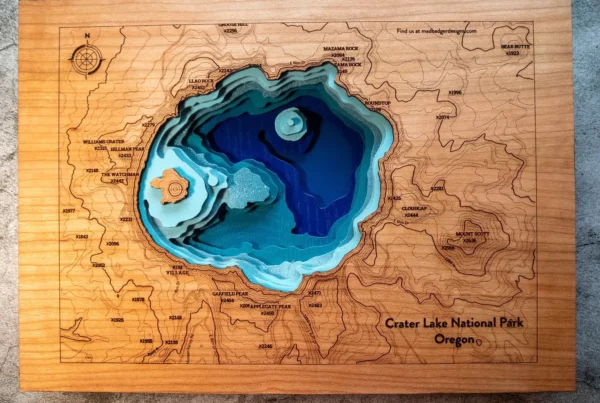
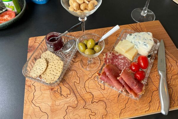
Last year was a busy year of making maps and map based products for us and launching the first public version of our Cartocuts online map design software at the beginning of the year was an exciting step for us.
After years of using the app internally at The Cut & Etch to create memorable unique map based products and gifts for people, we hired a developer to help us to bring this tool to the public and the first version that we released was functional but basic
Its been so rewarding for us to have so many new people join us on this journey and its a constant source of inspiration to see the wide range of incredible products and gifts our customers have been making.
Not to mention the maps! Our customers have generated hundreds of maps over the last year from all over the planet and the range of map styles and places are amazing to see.
The feedback flowed and the feature requests started to build up and the feeling that this could really grow into a useful maker tool was exciting to consider but a shift in business model was needed to be viable to generate enough revenue to hire a developer to work on some of the new features that would add real value to what people could do with the maps.
Its been wonderful to receive so much valuable feedback from people as to what works well for them and what still needs improvements.
I took a few months off from my full time software development job over the summer to work on a more user friendly version of Cartocuts with an improved business model that would give it a chance of moving from being a side side hustle to as least an official side hustle. I am happy to announce that we have hit our next release milestone and have some updates to announce.
These are mostly focused around improving the payment process and options, introducing a new licensing system and improving the interface for generating and downloading the maps.
Improved Payments
Its now much easier to pay for your map download – you can either checkout and pay as you need maps or you can purchase map credits in bulk that can save you up to 50% on licensing costs. The overall payment process has been overhauled and should resolve issues that our payment processor was having with processing some cards.
In addition we now support a larger range of payment options including Apple Pay and Google Pay and the general checkout, purchase and receipt process has been improved.
We are also busy with testing a subscription plan option that will deliver credits monthly for even bigger savings on license costs.
New Licensing Model
When the software was first launched our focus was to get it into the hands of people who were looking to use maps in their designs and collect their feedback and validate that there were more people like us out there looking for an quick way to generate and use custom maps with their laser cutters.
To do this we decided to give free high res map downloads to the first 1000 registered users and then offer a very basic pricing model to buy credits for people who wanted to create maps more frequently.
It was great validation to see that makers and craft businesses were buying credits and generating maps for their customers but mostly it was people enjoying their free map.
We have decided to shift to a licensing model similar to how many stock libraries work that price the map based on its intended usage and then try to offer an affordable rate for personal and single commercial use.
Things to look forward to
There are a few features that have been requested numerous times and these are a few that are moving into active development
- Switching between feet and meters for elevation and peak altitude data
- Creating svg vector files for roads, land and water that can be used to cut 3D layers of maps
- More customization tools for changing font and size of custom labels
- Tiled Map Output – to create bigger laser engraved pieces.
Updated Support Portal
We have updated our Support Portal with a shiny new theme and have added a whole bunch of new support documents and answers to the many questions that we have received. If you don’t find the answer already then please post a support ticket with your question and we will help out where we can
Attribution Template
Our map tool is powered by Mapbox and Open Street Maps and as such all maps are required to provide attribution to those sources. If used in print or in an engrave then the attribution needs to be on the product and/or packaging. We have provided a handy template for you to use to get started and include the attribution on as a label on your packaging.
Map Style Improvements
We continue to improve the base map and are tweaking it to improve its contrast and legibility for better laser engraving. We have increased base font sizes by a bit and have added a more distinctive white halo around text to make sure that it pops more when being layered over a complex or dense city map.
Showcase your #cartocuts creations
We love to see what you are creating using Cartocuts maps and invite you to use the @cartocuts mention or #cartocuts tag on instagram, facebook, youtube or pinterest.
We also invite you to contact us at if you would like to be considered for our Maker of the Month showcase.

